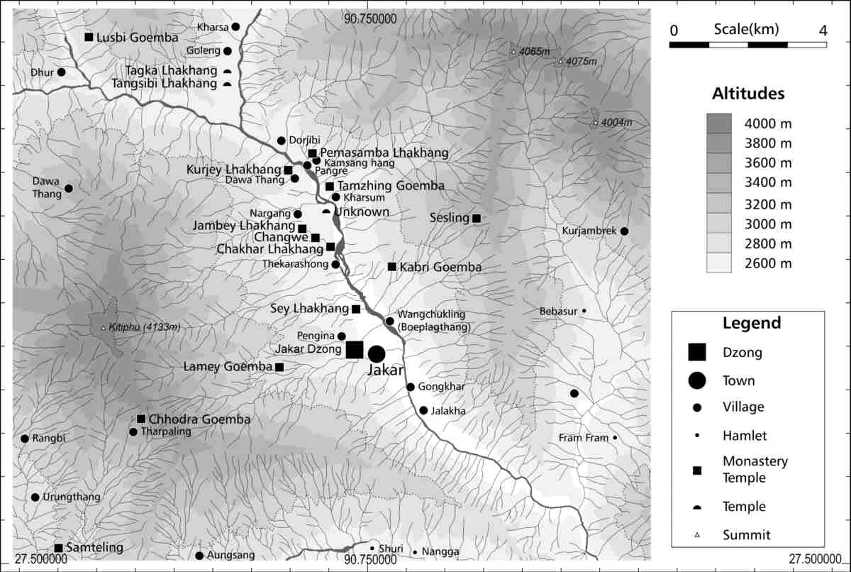
Fig.
2 - Topographical, political and cultural map of the Choskhor Valley in
Bumthang District. GIS data compiled by R. Blumer, 2000-2001, based on
Land Use Working Map 1:50’000 (Sheets 78/10 and 78/14) and on
Topographic Map 1:50’000 (Sheet 78/10). Mapping: R. Blumer, 2001.