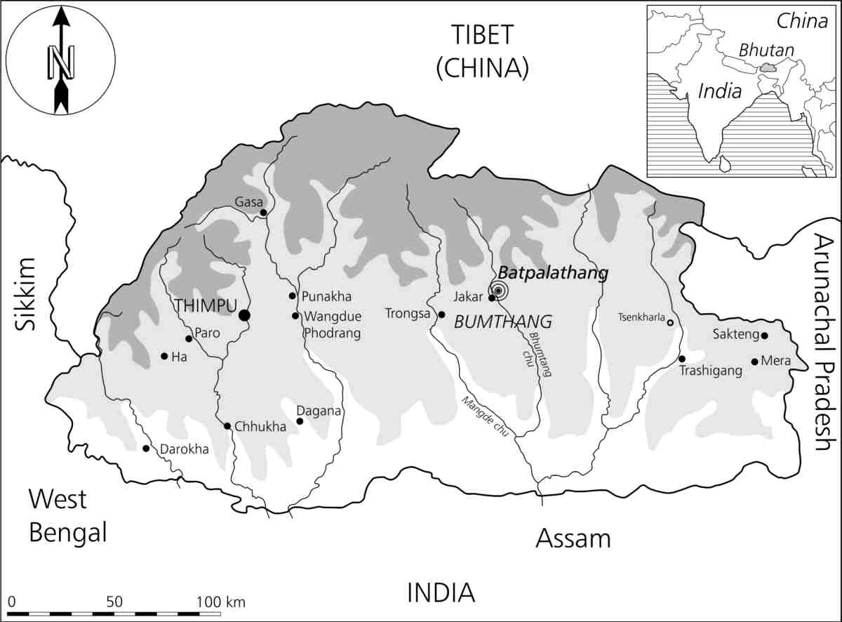
Fig.
1 - Simplified geographical and political map of the Kingdom of Bhutan
in its geopolitical context. In light gray: Great Himalayas; in white:
the Inner Himalayas or central belt; in dark gray: the hilly
Sub-Himalayas. Map: R. Blumer, 2000, redrawn from Schicklgruber and
Pommaret, eds. 1997:11, and from Armington 1998:31.